Date/Time
Date(s) - Wed Jul 08 2026
9:00 am
Notes:
This hike follows a well used track for 4 km to the normal trail end. An option will be offered to extend the hike along a steeper trail towards the shoulder beyond the main trail. This requires some bouldering, and hiking on rocks and loose shale and a stream crossing.
Type: Hike
Level: C+ at guide pace
Trip Leader: Frank McIntyre
Total Distance (km): 10-11
Vertical Gain (m): 450-500
Max Elevation (m):
Duration (hrs): 6
Meet 10 minutes before 9:00 AM
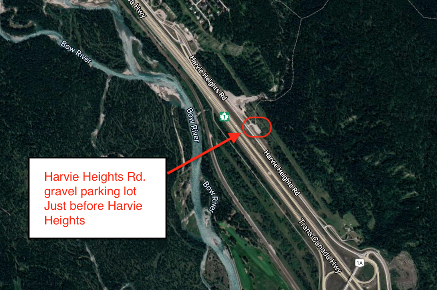
Meet location: Harvie Heights Rd gravel lot
Cost ($): 9
Max Participants: 15 FULL
Signup: MUST SIGN UP
Earliest Signup: Any time
To register, email request to: frank.mcintyre@shaw.ca
Include your CSA MEMBERSHIP number and a contact PHONE number
If no reply check your email junk folder
# Hikers: