Date/Time
Date(s) - Fri Jul 24 2026
7:30 am
Notes:
Although I have not done this route I have been in this area numerous times. I plan to go up to Bryant Lake via Canyon Creek. The lake is 7.5 km elev 390 m from the trailhead. From the lake go to Bryant Ridge Peak #5 then on to #4 Peak 409435 before descending down a great scree run back to the trail that comes up to the lake. Some of this route can be found in Daffern’s Vol 2 pg 204 to 209
The route up to Peak #5 from the lake could be a challenge. If too greater challenge we will change plans.
Type: Hike
Level: A at A pace
Trip Leader: Bill Rowe
Total Distance (km): 18
Vertical Gain (m): 1000
Max Elevation (m): 2550
Duration (hrs): 9
Meet 10 minutes before 7:30 AM
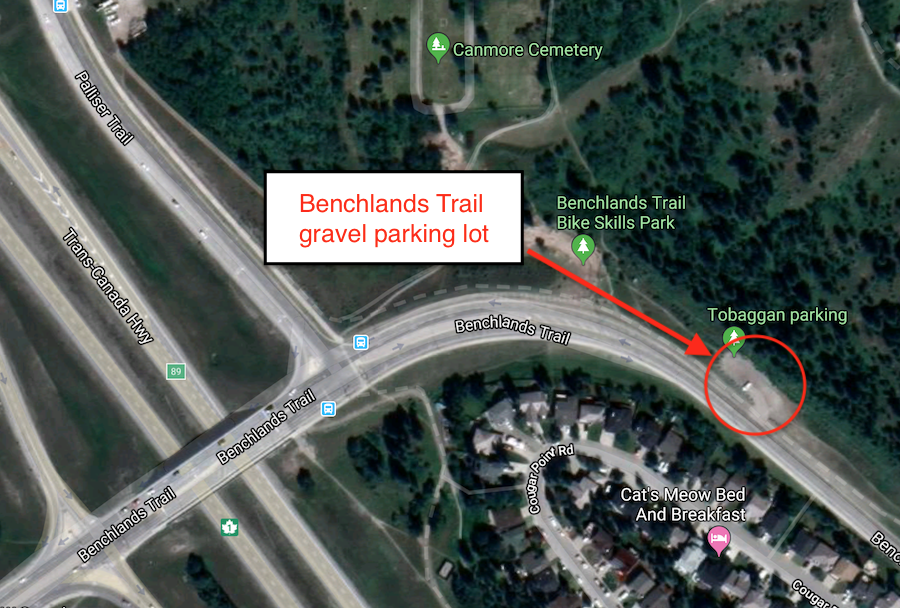
Meet location: Benchlands Trail parking
Cost ($): 14
Max Participants: 10 CANCELLED
Signup: MUST SIGN UP
Earliest Signup: Any time
To register, email request to: rowe9@shaw.ca
Include your CSA MEMBERSHIP number and a contact PHONE number
If no reply check your email junk folder
# Hikers: