Date/Time
Date(s) - Wed Aug 28 2024
9:00 am
Notes:
Goat Creek to Goat Pond Dam – 6.1 km
A winding trail descends to a pond where spring waters idle a bit before shooting through a pipe into Goat Creek. It’s grassy bank is a very pleasant spot, still waters reflecting Ha Ling Peak and Mount Lawrence Grassi. Just beyond the old wooden spillway, the trail turns right and descends to Goat Creek. Follow the creek upstream to the bridge.
Heading north toward the east end of Mount Rundle
After the Goat Creek crossing the trail climbs, then levels off and meanders on old road beneath the Goat Range, passing an array of cliffs and buttresses. Across the valley rises the massif of Ehagay Nakoda, comprised of Ha Ling Peak and the many summits of Mount Lawrence Grassi. After crossing the powerline reach the west end of Goat dam below an old quarry. From here it is 860 m across the dam to a parking area.
This is an Exploratory Hike. We will hike down from Goat Creek Day use until we meet the High Rockies Trail and then hike on to Goat Pond for lunch break. We will return on the same trail.
Type: Hike
Level: C at C pace
Trip Leader: Mariln Wilson
Total Distance (km): 12-13
Vertical Gain (m): 300
Max Elevation (m):
Duration (hrs): 6
Meet 10 minutes before 9:00 AM
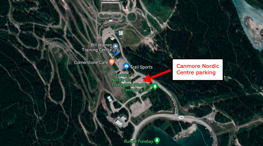
Meet location: Canmore Nordic Centre
Cost ($): 3
Max Participants: 12 Cancelled
Signup: MUST SIGN UP
Earliest Signup: 8:00 pm Wednesday before trip
To register, email request to: marlyw1969@gmail.com
If no reply check your email junk folder
# Hikers: